ARCTIC HORIZON
SVALBARD
Stand by for full Expedition Report
First expedition
The team began their journey in the heart of Svalbard's wilderness, undergoing specialized training with the world's leading experts in extreme conditions.
This phase also marked the start of multidisciplinary experiments and served as the launchpad for filming. Key scenes and visuals were captured using cutting-edge camera technologies, seamlessly integrating them into the narrative.
The journey unfolded over 10 days, stretching across vast miles from one horizon to the next.
Through conditions that stand as a true testament to resilience, the team pushed the limits of scientific accomplishment and redefined the future of storytelling and filmmaking, capturing moments that resonate deeply along the way.
Expedition route
The expedition in Numbers
Kilometers
GAINED ELEVATION
duration
Explorers
WEIGHT / PERSON
TEMPERATURE
Experiments to be carried out
NORTHSTARLINK

PI: David Marsh - TEC (MN '24)
Using Satellite Signals of Opportunity for Alternative Navigation in GPS-Denied Environments
Global Navigation Satellite Systems (GNSS), like GPS, Galileo, and GLONASS, fundamentally support the modern economy. Many of these services are vulnerable to disruptions, such as spoofing or jamming, and direct attacks upon the satellite constellations themselves. In higher latitudes on Earth, limited line-of-sight to the GNSS satellites and magnetic field interference can affect location accuracy.
This project builds upon past research on the use of Low-Earth Orbiting (LEO) satellites, such as SpaceX’s Starlink constellation, for Position, Navigation, and Timing (PNT) functions, including a ship expedition in northern Canada and Greenland in August 2024. Using an antenna, software-defined radios, GPS devices, and a consumer Starlink terminal, the PI will collect satellite signals while traversing via sled, along with a GPS device to provide an accurate ground track as control data. These signals will predominantly be from Starlink and OneWeb commercial satellite constellations. These signals will be analyzed post-expedition to provide an experimental location track to compare against the control.
Svalbard’s northern, geopolitically-relevant location coupled with the remote expedition route provide a perfect situation to verify this capability. The results will be published in cooperation with The Ohio State University. Additional corporate partners may be included to provide additional hardware or alternative navigation techniques to test alongside the LEO satellite signals, including GPS signal degradation.
Using Satellite Signals of Opportunity for Alternative Navigation in GPS-Denied Environments
GRASP

PI: Yoav Yair - Prof. at The School of Sustainability at Reichman University | Yuval Reuveni - Dr. Head of remote sensing lab, Department of Physics, Ariel University
Ground-based Cosmic Radiation in Antarctica and the South Pole
The Ground-based Cosmic Radiation in Antarctica and the South Pole (GRASP) experiment aims to advance the understanding of cosmic radiation by leveraging the unique environmental conditions surrounding Antarctica and the South Pole region. Cosmic rays, an incessant flux of high-energy particles originating from deep space, play a key role in atmospheric ionization and may influence cloud formation and climate processes.
Antarctica’s exceptional features and geophysical characteristics, including its high altitude (average elevation exceeding 2.5 km), vertical orientation of Earth’s magnetic field lines, and extremely cold, dry, and stable atmosphere, create an unparalleled environment for detecting cosmic rays. These conditions minimize atmospheric interference, facilitate the observation of low-energy cosmic radiation, and provide a terrestrial analog for studying cosmic radiation exposure relevant to space missions. Unlike balloon- or space-based instruments, ground-based detectors capture secondary particles produced in atmospheric air-showers as primary cosmic rays interact with atmospheric nuclei.
GRASP will employ two lightweight, portable miniaturized ionizing radiation detectors equipped with 0.8 cm³ CsI(Tl) scintillator crystals coupled to PiN photodiodes, housed in a low-power, cost-effective design. This system will allow the measurement of both background cosmic radiation and transient space weather events, such as Coronal Mass Ejections (CMEs) and solar flares, anticipated during the declining phase of Solar Cycle 25. By collecting data at locations along the route to the South Pole not previously included in cosmic ray monitoring networks, GRASP will provide valuable contributions to the existing cosmic radiation database. This experiment will not only enhance our understanding of cosmic ray fluxes in extreme environments but also offer insights into the broader implications of cosmic radiation for Earth’s atmosphere and space exploration.
Ground-based Cosmic Radiation in Antarctica and the South Pole
JAMTARCTIC EXPLORATION

PI: Nina Maric - Astrophysicist at Rhea Space Activity
Ground-based, non GNSS dependent, optical navigation system
The JAMtarctic Exploration experiment will be used to develop cutting-edge ground-based optical navigation technologies for explorers without GPS in all remote environments – from Earth’s poles to outer space. This experiment will test Rhea Space Activity’s (RSA) JAM system, an innovative optical navigation technology that serves as a reliable alternative to traditional GPS. JAM uses advanced optical sensors to track guide stars and surface features, enabling precise estimation of a spacecraft’s position and velocity, even in challenging conditions.
RSA is enhancing JAM based on NASA’s AutoNav technology and has a commercial contract for its deployment on five Lunar spacecraft. During an upcoming expedition to Svalbard, the team will capture images of the sky in various conditions to evaluate JAM’s performance. Using multiple camera systems, including those sensitive to visible light and short-wave infrared (SWIR), this data will refine RSA’s JAM algorithm. The team will analyze factors affecting optical navigation, such as weather and time of day.
The JAMtarctic Exploration experiment offers significant advances in optical navigation technology for remote exploration. By demonstrating the real-world effectiveness of the JAM system in various environmental conditions, we will enhance its performance for critical all-weather ground-based operations. The data collected will strengthen JAM’s capabilities for ground-based navigation (in contrast to our existing space navigation capability) ensuring reliability in challenging environments where GPS is unavailable. Furthermore, this experiment will bolster RSA’s technology portfolio, solidifying its position as a leader in optical navigation and supporting ongoing contracts, as well as future partnerships with government agencies and commercial entities.
Ground-based, non GNSS dependent, optical navigation system
Expedition Crew


THIS IS AN EXPLORERS CLUB EXPEDITION FLAG
The Explorers Club Flag
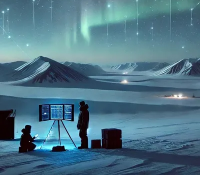
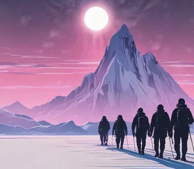
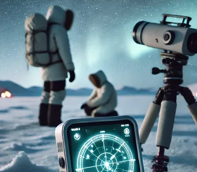
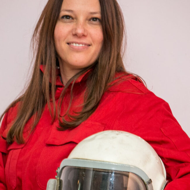
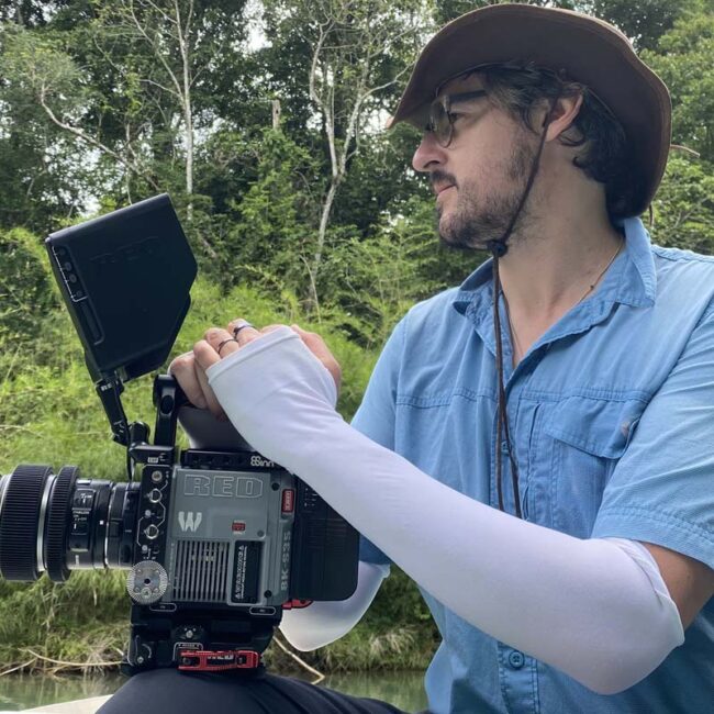
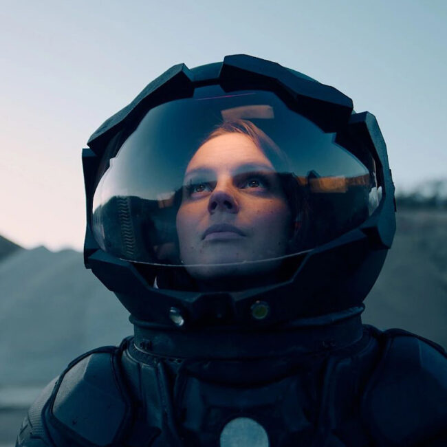
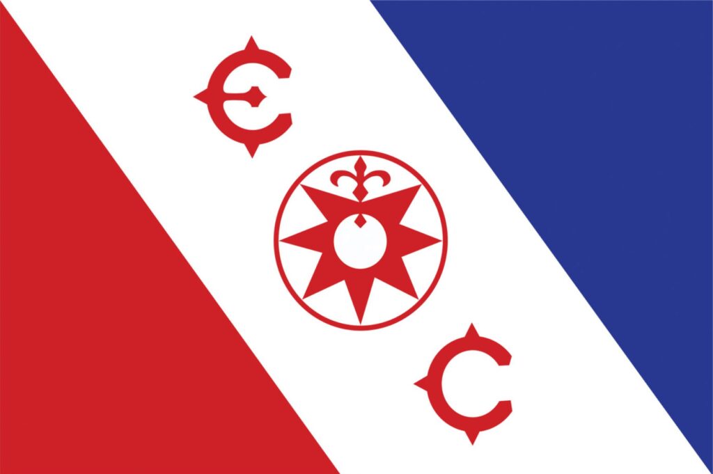
The Explorers Club Flag is a symbol of courage and fidelity. The award of the flag is a significant accomplishment. Since 1918, it has flown at both poles, from the highest peaks of the greatest mountain ranges, traveled to the depths of the ocean, to the lunar surface, and outer space.
A select handful of the 242 Explorers Club flags have been framed and now decorate the Club house in New York. These include flags carried by Roy Chapman Andrews, Bob Bartlett, Thor Heyerdahl, Naomi Vemura, and miniature flags carried aboard the Apollo 8 and Apollo 15.
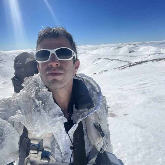
Our expedition have been awarded Flag #146, and has become part of the rich history attached to this flag. Earlier expeditions include:
Malcolm Davis | 1950 | Midway Trading Expedition to India |
Nicholas Sullivan | 1985 | Chillagoe Caves Expedition |
Robert M. Peck | 1987 | ANSPhil/Upper Orinoco Expedition |
Ralph L. Langenhelm | 1990 | 1990 Sverdrup Basin Paleontologic Evaluation |
Dale T. Andersen | 1994 | Soil Microflora of the Atacama Desert |
Finlay B. Matheson | 1995 | Hatian Stean & Hot Air Expedition |
H. Morgan Smith | 1995 | Amazon/Nanay 95 Expedition |
Harry D. Brooks | 1997 | Reef Survey – Butaritari Islet, Makin Atoll, Kiribati |
Harry D. Brooks | 1998 | Archaeological Survey – Midway Atoll and Adjacent Seamounts |
Paul C. Sipiera | 1998 | Patriot Hills Geological Field Study |
Harry D. Brooks | 1999 | Archaeological Survey – Midway Atoll |
Ned Strong | 1999 | Some Sources of the Amazon |
Piotr Chmielinski | 2000 | Sources Of The Amazon – 2000 |
Stephen E. Smith | 2001 | 2001 Korea Reef Protection Project |
Andrew A. Urbanczyk | 2002 | Raft Transpacific Expedition |
Gary Ziegler | 2003 | Thomson-Ziegler Peruvian Andes Research Expedition 2003 |
Richard C. Wiese | 2003 | Central Park BioBlitz |
William H. Littlewood | 2004 | Relief Expedition to Argentine Scientific “General Belgrano” |
Andrew A. Urbanczyk | 2004 | Lifeboat Transpacific |
Kenneth M. Kamler | 2004 | Bhutan Medical Survey/Photo Documentation |
Kenneth M. Kamler | 2006 | Canadian Arctic Expedition |
Kenneth M. Kamler | 2006 | Neemo 9 – NASA Extreme Environment Mission Operation #9 |
Doug Soroka & Chris Nicola | 2009 | Floyd Collins Crystal Cave Restoration |
Robert J. Atwater | 2011 | 2012 Japanese Tsunami Maritime Research Expedition |
Craig Mullen & lan Koblick | 2012 | Florida Keys National Marine Sanctuary Survey – Phase I |
Meenakshi Wadhwa | 2012 | Antarctic Search for Meteorites (ANSMET) |
Horizons of Change team are humbled in joining this illustrious group and in our broader membership and participation in exploration.
Partners


Join Us!
Fill out the form and tell us how you see yourself joining this challenge.